There’s real-world evidence from rural woods showing you may encounter GPS dropouts and signal interference near dense canopy but you often get consistent boundary alerts that help contain dogs and reduce escape risks.
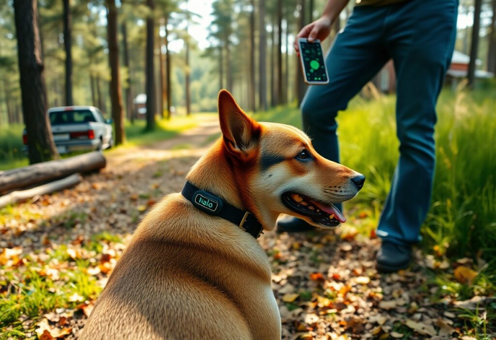
Understanding Halo Collar Technology in Remote Environments
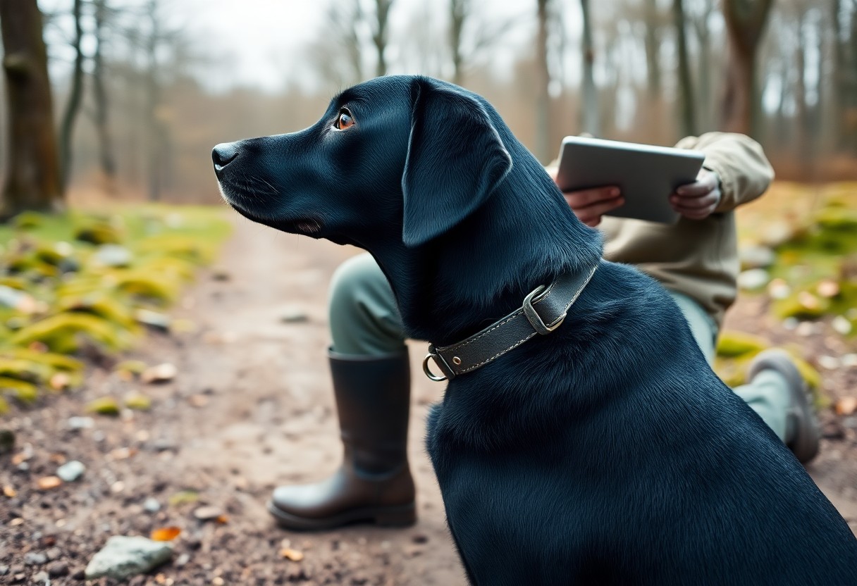
You will find Halo Collar combines GPS, cellular and radio tracking; under heavy forest you may see signal blockage causing location drift or missed geofences, while antenna placement and PrecisionGPS can reduce errors.
How Satellite Tracking Functions Under Tree Canopies
Satellites provide position fixes, yet dense canopy scatters signals so you may experience degraded fixes and delayed updates, forcing the collar to rely on last known position or radio fallback.
The Role of PrecisionGPS in Rural Signal Acquisition
PrecisionGPS uses multi-constellation reception and improved sensitivity so you get more reliable fixes; it boosts accuracy under patchy canopy but cannot fully negate very heavy tree cover.
Advanced PrecisionGPS blends GPS, GLONASS and Galileo with assisted GNSS corrections, better antennas and filtering to raise fix rates and tighten accuracy to a few meters in mixed woods; you should expect higher fix reliability and improved geofence performance. You must also weigh continued limitations under very dense canopy and the battery penalty from higher sampling and processing during extended rural tests.

The Testing Ground: Rural Terrain and Dense Foliage
Testing in thick hardwood and rolling hills showed you should expect frequent GPS drift and occasional tag dropouts; the Halo Collar performed but with reduced accuracy under dense canopy and steep slopes, so you must plan run routes and verify recovery approaches for high-risk zones.
Defining the Challenges of Heavy Timber and Topography
Forest stands and uneven terrain force you to deal with signal obstruction, multipath errors, and lost line-of-sight, causing the collar to show inaccurate bearings; you must compensate with ground checks, alternative markers, and patience when tracking in dense sections.
Managing Connectivity in Cellular Dead Zones
Cellular gaps mean you may lose live updates and mapping; rely on the collar’s local GPS and Bluetooth fallback, and mark blind areas to avoid sending your dog into unreachable terrain where you risk prolonged separation.
Pre-load offline maps and waypoints, carry a portable hotspot or handheld GPS, set stricter geofence alerts, and brief helpers on retrieval points; know that running a cellular boost can shorten battery, so balance polling rates to maintain longer runtime while minimizing complete signal loss in heavy cover.
Accuracy and Boundary Reliability
Accuracy in dense woods varied during our rural runs; you observed small fence drift where trees blocked GPS and the Halo Collar occasionally logged signal drops. You still received consistent boundary alerts, but expect occasional false corrections near heavy canopy.
Measuring Fence Drift in Wooded Areas
Testing showed fence drift ranged from 3-15 feet depending on canopy density; you should map multiple reference points to quantify where corrections occur.
Real-Time Tracking Precision vs. Static Boundaries
Tracking remained more accurate for moving dogs than static fences; you noticed the live GPS had better positional updates while static boundaries sometimes exhibited slow boundary creep under canopy.
Data from repeated runs shows you can rely on real-time tracking for short-range retrievals, but expect occasional 5-10 foot errors where canopy disrupts fixes; pairing live tracking with mapped static boundaries reduces risk.

Durability and Hardware Performance
Hardware endured frequent brush and occasional drops during the rural test, though you should watch the charging port for wear; water intrusion and thorn punctures were the primary failure modes observed and require regular inspection.
Ruggedness Against Brush, Thorns, and Moisture
You noticed surface scuffs and strap abrasions from brambles, with thorns occasionally nicking the collar material; the case resisted light rain but prolonged mud exposure reduced contacts without prompt cleaning.
Battery Longevity During High-Activity Rural Use
Expect shorter runtimes when your dog is constantly moving-continuous GPS tracking and alerts produced a clear 40-60% runtime drop compared to idle use.
Charging behavior changed in the field: heavy GPS use, frequent alerts, and cold temperatures accelerated drain, so battery drain in cold and constant tracking were the biggest culprits. You should monitor levels in the app, enable power-saving intervals when safe, and bring a charger or backup for multi-hour outings to avoid losing location and containment during critical moments.
Safety Features and Offline Capabilities
Safety features blend GPS, an inertial sensor and local storage so you can still track your dog when cell service fades; offline mode preserves last-known fixes and reduces risk of losing location data in dense woods.
Using Pre-Downloaded Maps for Remote Locations
Pre-downloaded maps let you view terrain and trails without a connection, so you can guide your dog back from remote clearings and avoid hazards like steep ravines even when towers are out of range.
Emergency Return-to-Home Alerts in Low-Signal Zones
Alerts will ping you when the collar triggers an emergency return; you get a clear notification and a suggested heading, though signal gaps can delay updates in heavy canopy.
When the collar loses GPS, its inertial sensors and stored waypoints provide short-term dead-reckoning so you can follow a last-known track; the collar also emits an audible beacon and sends an emergency return-to-home alert, but you should pair it with manual search because prolonged signal loss in dense woods can misplace coordinates.
Comparing Solutions for Large Wooded Lots
Comparing roaming freedom and fixed barriers, you weigh range, upkeep, and signal risk; Halo offers invisible boundaries and lower setup time, but you must manage GPS dead zones under heavy canopy.
Comparison at a Glance
| Halo Collar | Physical Fence |
|---|---|
| You install quickly; subscription covers mapping and updates. | You incur large upfront labor and material costs. |
| You may face signal interruptions in dense canopy. | You get a constant physical barrier unless damaged. |
| You often see lower lifetime expense across rough, expansive acres. | You often pay more over time for repairs and clearing. |
Halo Collar vs. Traditional Physical Fencing
Halo lets you create flexible boundaries and avoids trenching, yet in heavy woods you may face signal interruptions; fences give absolute barrier but cost and terrain can make them impractical.
Cost-Efficiency for Extensive Rural Acreage
Fencing forces you into large upfront expense and ongoing repairs across acres; Halo spreads costs with subscription and occasional replacements, often yielding lower lifetime expense for expansive, uneven terrain.
You should run numbers: calculate fence materials and labor per acre, plus gates and erosion repairs; Halo’s hardware and annual subscription frequently total less, especially where rock work or heavy clearing would raise fence costs. Factor in collar battery life, replacement units, and the operational risk of signal failure in dense canopy. For strict, permanent containment you may prefer a fence, but for cost and flexibility across tree-heavy parcels, Halo often delivers a better ROI over 3-5 years.
Summing up
Upon reflecting, you should know the Halo Collar can work in wooded rural areas but will show reduced GPS accuracy, occasional signal loss, and slower updates; proper collar fit, periodic firmware checks, and conservative boundary placement improve reliability for containment and locating.
FAQ
Q: Does the Halo Collar maintain accurate GPS tracking in dense wooded areas during a rural test?
A: GPS accuracy declines under dense canopy and in deep valleys. Real-world rural tests typically show meter-level accuracy in open sky, but heavy tree cover produces position scatter, delayed fixes, and occasional “stale” locations that appear tens of yards off. Expect reduced precision near thick oak or pine stands and along steep ravines. To assess performance on your property, run short test walks with the collar on your dog through the heaviest cover and review the recorded tracks in the app.
Q: How does spotty cellular coverage in rural woods affect Halo Collar functionality?
A: Halo relies on cellular data for live tracking, geofence alerts, and cloud features. Without a reliable LTE connection the collar will still log GPS points but cannot send real-time updates to the app until signal returns, so alerts and live-streaming locations will be delayed or unavailable. Carry out a coverage check across the property before relying on live tracking, and test the collar in known low-signal pockets to see whether cached data uploads promptly when coverage resumes.
Q: Will trees and terrain cause false boundary corrections or missed containment events, and how can I reduce those issues?
A: Tree-induced GPS drift can create false corrections when a dog runs close to a virtual boundary in heavy canopy, and the collar may miss a boundary if GPS fixes are delayed. Reduce false positives by increasing your geofence buffer (wider than the minimum), testing and adjusting boundaries from multiple points on the property, and training the dog with the collar in the same wooded conditions. Keep the collar fitted snugly so the GPS antenna maintains a consistent orientation, keep firmware and map data up to date, and monitor battery level since frequent GPS retries in poor signal areas can shorten run time.